NOAA Warns of Historic El Niño Bringing Warmer, Wetter Winter to U.S.
Federal forecasters predict above-average precipitation and higher temperatures, with specific risks for coastal flooding and drought relief in the Southwest.
By Lucas Chen ·
The National Oceanic and Atmospheric Administration projects a winter defined by warmer-than-average temperatures and increased rainfall across much of the continental United States.
NOAA identifies the current climate pattern as a 'Super El Niño,' a phenomenon driven by record-warm waters in the eastern Pacific. Ken Graham, director of the National Weather Service, described the event as strong, if not historic, during an October media briefing. The agency’s latest seasonal forecast indicates that this warming will shift weather probabilities nationwide, though Graham cautioned that predictions are not guarantees.
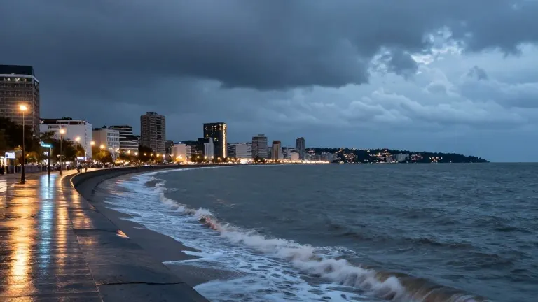
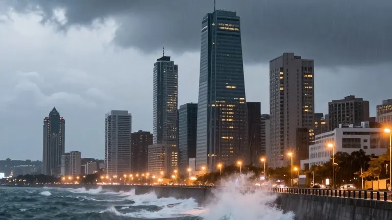
The economic and logistical implications of these shifts are already visible. On the West Coast, a Kelvin wave has raised sea levels between Los Angeles and San Francisco. Dillon Amaya, an assistant professor of atmospheric sciences at North Carolina State University, noted that such waves do not cause flooding independently but increase the likelihood of it. This elevated risk contributed to coastal flooding during Tropical Storm Rachel in early October. More waves are expected through the fall and early winter.
In the Southwest, the region has already experienced two months of unusual wet weather. Severe flooding in the Four Corners area forced rooftop rescues and evacuations in late October. Daniel Swain, a climate scientist at the University of California Agriculture and Natural Resources, attributed the heavy thunderstorms to moisture from record-warm ocean waters driven by El Niño and a marine heat wave. However, Swain stated that this rainfall does not solve the Colorado River basin’s water crisis. Reservoirs including Lake Powell and Lake Mead remain at record low levels.
The East Coast faces a different set of risks. Forecasters predict that El Niño conditions may strengthen and accelerate nor'easters by pushing warm, moist air northward. These storms, combined with high tides, pose threats of coastal erosion and flooding similar to those seen during the 2023 El Niño event. Graham noted that while the winter may be milder than average in the north, the risk of snow remains present.
The South holds the highest probability for above-average precipitation. Northern Texas, northern Florida, and parts of Georgia and South Carolina are expected to see more rain than usual. Florida is also facing a higher tornado risk, a pattern observed during the 1998 El Niño event. The Midwest, particularly the Upper Midwest, is forecast to have a smaller snowpack due to warmer temperatures. Jon Gottschalck, a NOAA meteorologist, said drought conditions in the Midwest are expected to persist and may worsen.
Josh Willis, a climate scientist at NASA's Jet Propulsion Laboratory, compared the phenomenon to a monster stretching across the ocean. He noted that the warming pattern affects global weather, from droughts in Southeast Asia to hurricanes in the Pacific. Cities are using these seasonal predictions to allocate resources and prepare infrastructure for the coming months.
The next major weather updates from NOAA are scheduled for the early November forecast cycle, which will provide more detailed regional outlooks as the winter season approaches.
Source: WVIZ