Tesla Reverses Course to Build Own Maps for FSD
The automaker is developing proprietary mapping to address recurring navigation and speed limit issues in its Full Self-Driving software.
By Haruka Ricci ·
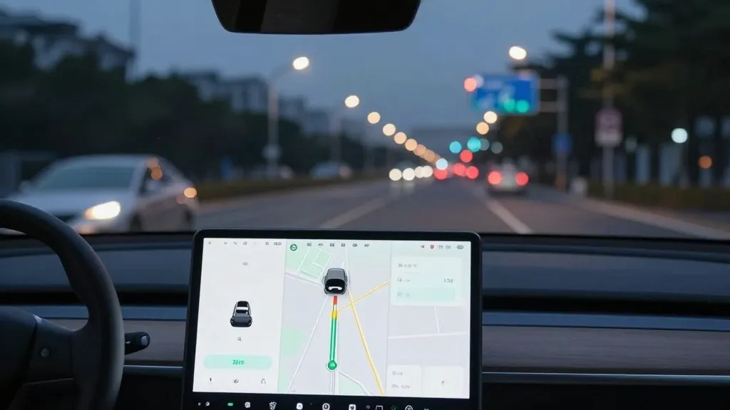
Tesla is shifting its strategy regarding navigation data, announcing plans to construct its own mapping system to address persistent issues with its Full Self-Driving (FSD) software. The company’s head of AI confirmed the initiative during the Q3 2026 earnings call, marking a departure from years of public statements criticizing the use of detailed maps in autonomous driving.
The decision stems from a shareholder inquiry regarding ongoing FSD performance problems. The investor identified speed limit reading, parking, and route selection as the three primary areas where the system continues to struggle, asking why the company relies on third-party data. In response, Ashok Elluswamy, Tesla’s VP of AI, stated that the company “shouldn’t be depending on external people’s maps.” He outlined a new AI-based architecture that will utilize data collected by the vehicle fleet to generate maps, while also learning individual driver preferences and voice commands.
Timeline details indicate that this technology will begin handling the start and end of trips with the release of FSD v15. Over the subsequent months, the system is expected to assume control of navigation, parking, and destination handling. This development represents a significant reversal for Tesla, whose CEO previously dismissed detailed mapping as a vulnerability. In 2019, Elon Musk described high-precision lane maps as a “huge mistake” and a “really bad idea,” arguing that such reliance makes a self-driving system “extremely brittle.” This stance was consistent with his rejection of lidar technology, which he termed a “fool’s errand,” as Tesla maintained that vision and AI alone were sufficient for operation in any location.
Critics note that this move aligns Tesla’s operational model with that of competitors like Waymo, which utilizes lidar-equipped vehicles to map cities prior to service launch. Tesla has previously argued that Waymo’s approach differs because it relies on high-definition maps, but the company is now describing a process where its own fleet collects environmental data to assist in driving. This effort addresses specific failures in reading the environment, such as a recent Belgian study that found FSD speeding in 55% of tested 30 km/h zones in Brussels, partly due to the vehicle’s screen displaying incorrect limits.
While Tesla is not currently constructing centimeter-level high-definition maps, the creation of a fleet-built map layer suggests a reliance on geofenced areas, a practice Musk previously stated does not constitute a “true self-driving system.” The company continues to operate its Robotaxi service within specific geographic boundaries, and the development of proprietary mapping appears intended to mitigate the issues associated with those boundaries. The timeline for unsupervised FSD in consumer vehicles remains set for Q2 2027.
The company’s history with mapping has been inconsistent. In 2015, during the launch of Autopilot, Tesla indicated it was building high-precision maps with “100 times the level of granularity” of standard navigation using customer data. However, the company later pivoted away from this requirement. Now, as Tesla builds a map layer to correct errors made by its vision system, the strategy appears to be moving back toward the methods previously rejected by its leadership.
Source: Electrek · original report published